Thursday, February 28, 2008
Your Host: Jim Chen | |

|
I am an expert on law, economics, and regulation. For more information, please visit my home page or download my résumé. For scholarly details, please visit my SSRN page or my Google Scholar page, or download my academic curriculum vitae. I also welcome your e-mail. |
- Guests
- Frank Pasquale

 ssrn
ssrn 
- Andrea Matwyshyn

 ssrn
ssrn 
 ssrn
ssrn  ssrn
ssrn Jurisdynamic Essentials
- Jurisdynamics' Building Blocks
- Reading Lists
High reliability organizations
Statutory interpretation - Constitutional Curiosities
The scavenger hunt
The answer key - Hierarchies of Legal Scholarship
J.B. Ruhl (part I)
Jim Chen
J.B. Ruhl (part II) - Other Notable Posts
Alas, Babel
Born in the U.S.A.
The law of love and gravity
Honoring Norman Borlaug
Hall of Idols
Recent Posts
- A new blog: Commercial Law
- Who can frame thy brilliant symmetry?
- Literary Warrant [26]
- Gone for good: A fatal flaw in the logic of love
- Cubes, cones, and color: Cutting through the RGB a...
- Stillness by moonlight
- Seaside awakening
- In plain sight: Simple rules for complex camouflage
- The Octopus
- The Great Gatsby
Subscribe to Jurisdynamics
Subscribe to Jurisdynamics by e-mail 

Supreme Court/FindLaw search
Search FindLaw's database of Supreme Court decisions since 1893 (U.S. Reports, volumes 150-present). Browsable by U.S. Reports volume number and by year. Searchable by citation, case title, and full text.
Browsing
Supreme Court decisions: by volume, by year
Citation Search
Title Search
Full-Text Search
Web 2.0 calculator
Lijit search
The Jurisdynamics bookshelf
- Daniel A. Farber, Jim Chen, Robert R.M. Verchick & Lisa Grow Sun, Disaster Law and Policy (2d edition)
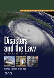
- Daniel A. Farber & Jim Chen, Disasters and the Law: Katrina and Beyond


0 Comments:
Post a Comment
<< Home